Mitigation & Watershed Protection
Project Components

Reservoir
Roads & Bridges
Pipeline
Administration & Maintenance Facilities
Mitigation & Watershed Protection
Ladonia Fossil Park
Mitigation & Watershed Areas
The North Sulphur River has experienced extensive erosion problems that Lake Ralph Hall will help address. The local ecosystem will greatly benefit from the creation of the lake itself and associated environmental mitigation.
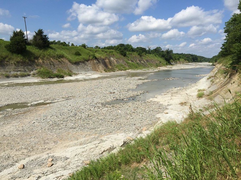
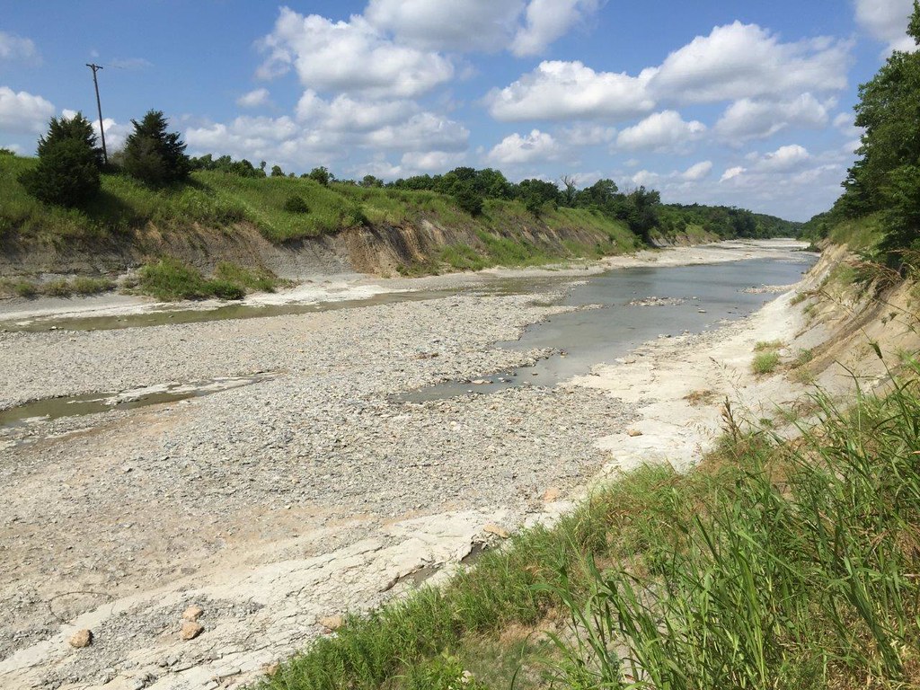
In the 1920s, the natural path of the North Sulphur River was straightened and channeled to help protect farmland along the river near the City of Ladonia from periodic flooding. The channel was originally created to be 16-20 ft. wide and 10 ft. deep. Since that time, massive erosion has expanded the channel to 350 ft. wide and over 60 ft. deep–nearly ten times its original size. Original wetlands, quality habitat and multiple state highway bridges have been destroyed in the process.
An image of the eroded North Sulphur River
There was no evidence that the channel was becoming stabilized or recovering. Lake Ralph Hall is providing an opportunity to turn this environmental problem into a healthy asset – providing a rich aquatic and terrestrial habitat in Fannin County and water for future Texans. Once operational, the new lake will help mitigate erosion, provide new water and food resources for animals and provide better soil and natural resources.
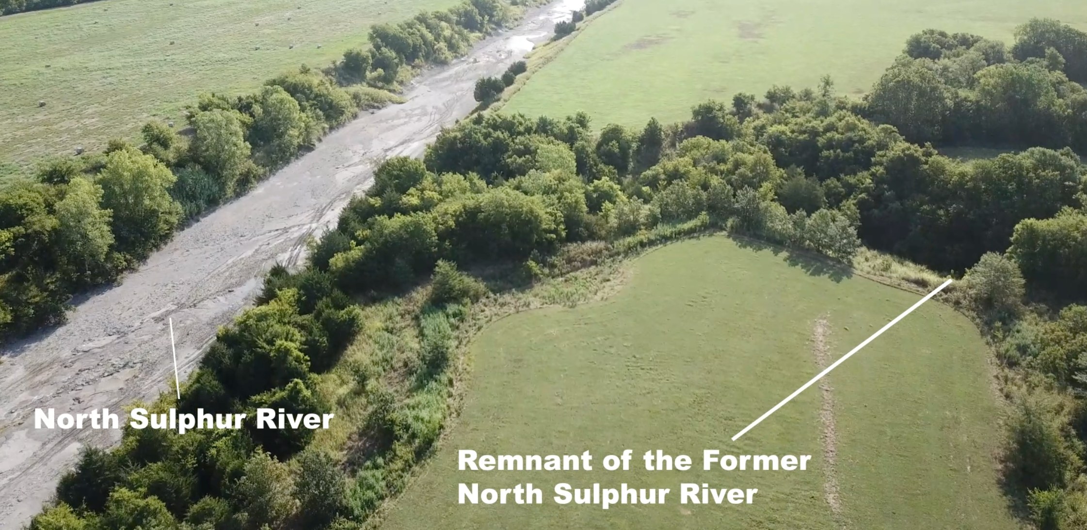
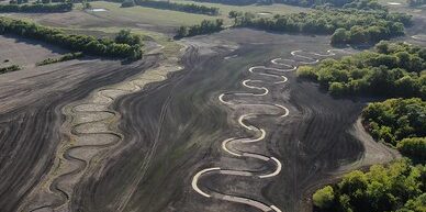
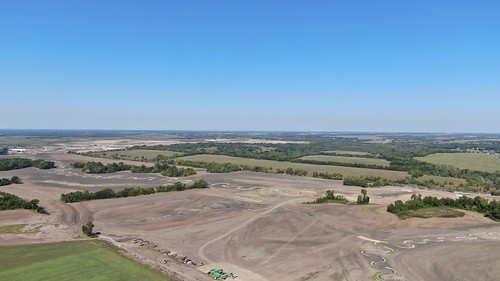
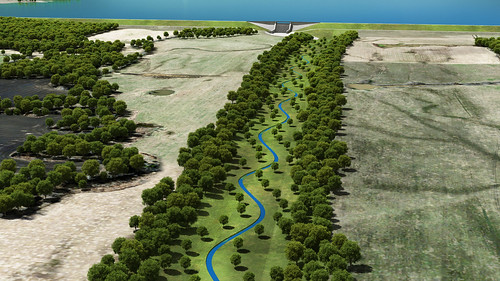
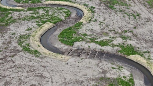
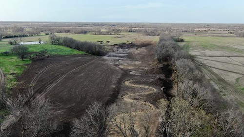
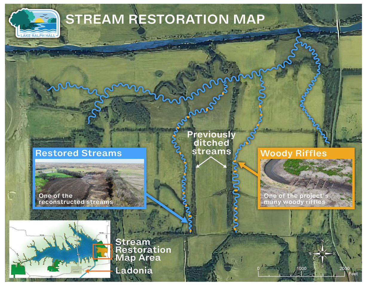
As part of the lake project, 5.7 miles of the former North Sulphur River, including associated tributaries, have also been restored. In spring of 2024, contractors began to dig the pathway for the new tributaries below the future dam. Each stream was built with sufficient bends and various other structural elements (including woody riffles) to slow the flow of water and protect against erosion while improving the local habitat. Woody riffles are made up of logs laid across a stream bottom in a pattern that naturally slows the water. Riffles were placed along the new streams to provide stability, stop erosion and create more habitat by enhancing the hydrology within the streams to support bugs, plants and ecology in general.
5.7 miles of the former North Sulphur River were restored as part of the mitigation for Lake Ralph Hall:
The newly completed streams have restored curves to support their bends and prevent wash-out:
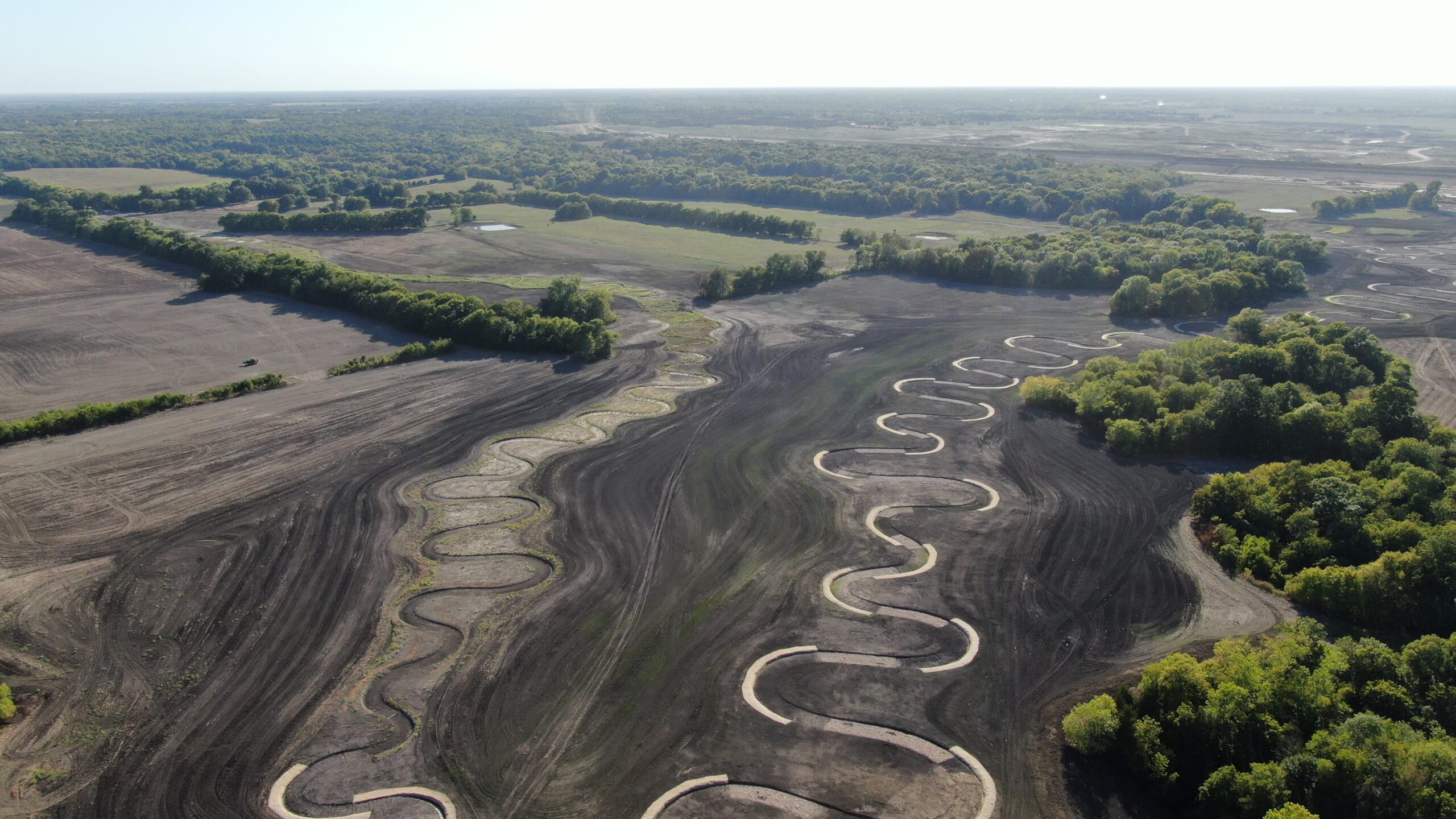
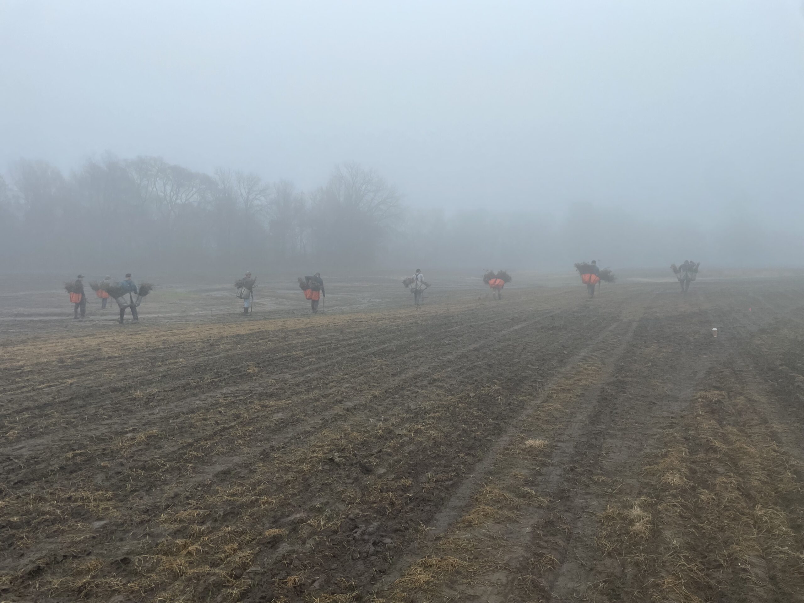
After they created the streams’ structure, team members also placed native grass and biodegradable matting along the bank and have planted/will continue to plant trees around the new streams. They have and are also planting native grass across the entire 400 acres planned for mitigation.


